Shawnee Bottoms Trail Hike

Description
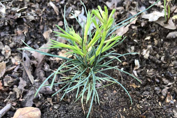
Join Bob Easter on a hike of the 3+ miles of trail that NICHES owns and manages at Shawnee Bottoms. Explore, learn and see the results of the woody thinning, returning fire and reestablishing white pines to areas in their historic range.
Who to contact:
RSVP to Sam Cody, sam@nicheslandtrust.org
Location:
Shawnee Bottoms
How to Get There:
From the SR 28 and US 41 intersection in Attica Take US 41 south 4.9 miles and turn right onto E 650 N. Next, turn right onto County Road 160 W/N Williamsport Road. From here, the road jogs left for 1/10 of a mile becoming County Road 700 N then jogs back right to become County Road 170 W/N Williamsport Road. In 0.5 miles turn left onto W 750 N/W Covered Bridge Road. *be aware that as of March 2016 no road sign identifies W 750 / Covered Bridge Road at the intersection with N. Williamsport Road. If you cross to the north side of the Wabash, you have missed the turn. Travel West on W Covered Bridge Road through a curve to the left and a curve back to the right. When you get to the next curve take the short lane into the parking area where you will see the large wooden “Shawnee Bottoms” sign.


